

This Kato Pyrgos village guide introduces a community in the Tylliria area of Nicosia District, Cyprus. Its coastal setting, village square and nearby hills give you a clear starting point for exploring the area and planning practical stops.
- Setting: Nicosia District, in the Tylliria area
- Landscape: a coastal front alongside the northern foothills of Troodos
- Village landmark: the square’s oak tree was planted in 1898
- Road access: the route from Paphos follows the B7 and E704
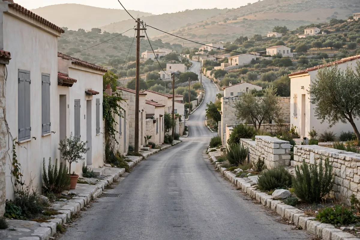
Getting oriented in Kato Pyrgos
Kato Pyrgos sits between the coast and the northern foothills of Troodos, in the Tylliria area of Nicosia District. That mix of shoreline and hills is a useful way to picture the village before you set out to explore it.
The community site places Kato Pyrgos about 70 km from Nicosia city centre and about 80 km from Paphos. It describes the village as accessible by road via the Paphos region, making that route a practical orientation point if you are arriving by car.
The village square is described as the heart of the community. An oak tree planted there in 1898 stands 20 metres high, giving the square a distinctive local landmark.
For a closer look at the village’s layout without a car, you can plan around getting around Kato Pyrgos without a car.
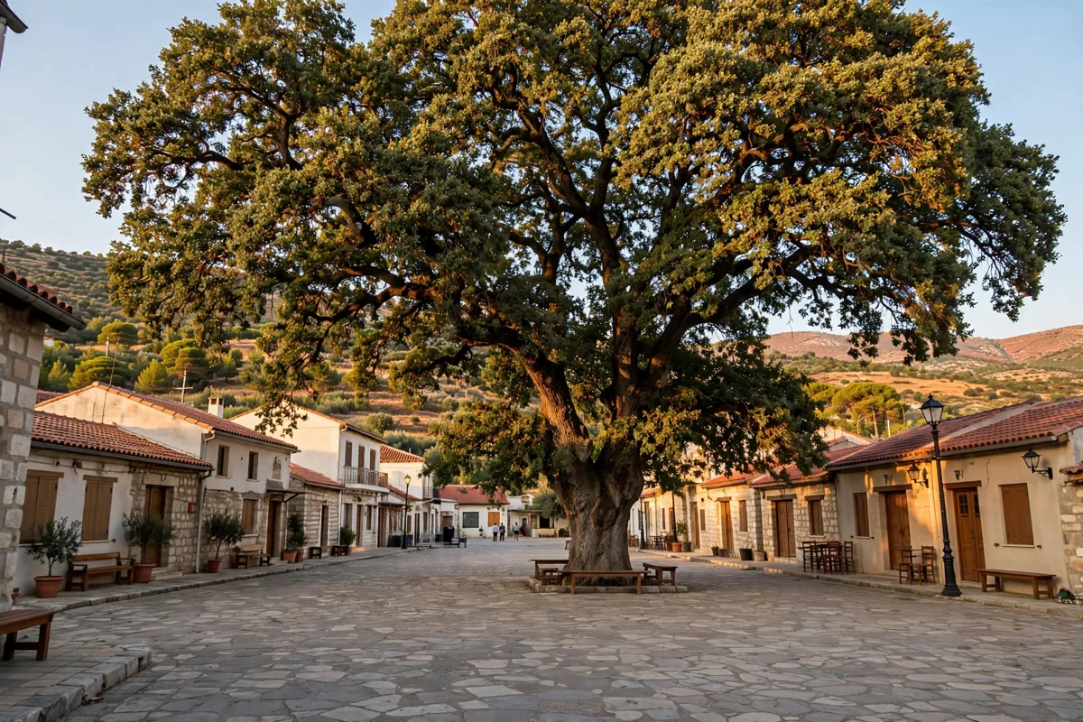
Finding the village centre
The village centre is about an 18-minute walk from Tylos Beach Hotel; the hotel offers rooms at Tylos Beach.
If you are driving from Paphos, the Cyprus tourism authority’s route description directs you along the A1 and A6 motorways to Paphos, then along the B7 and E704 to Kato Pyrgos. The village is also about 80 km from Paphos, according to the community site.
The Chapel of Panagia tis Galoktistis is another village landmark. Hagiographies in the chapel date to the 12th and 14th centuries, as described by the tourism authority.
A one-day plan can combine the square and local landmarks; how to spend a day in Kato Pyrgos is a useful way to shape that sequence.
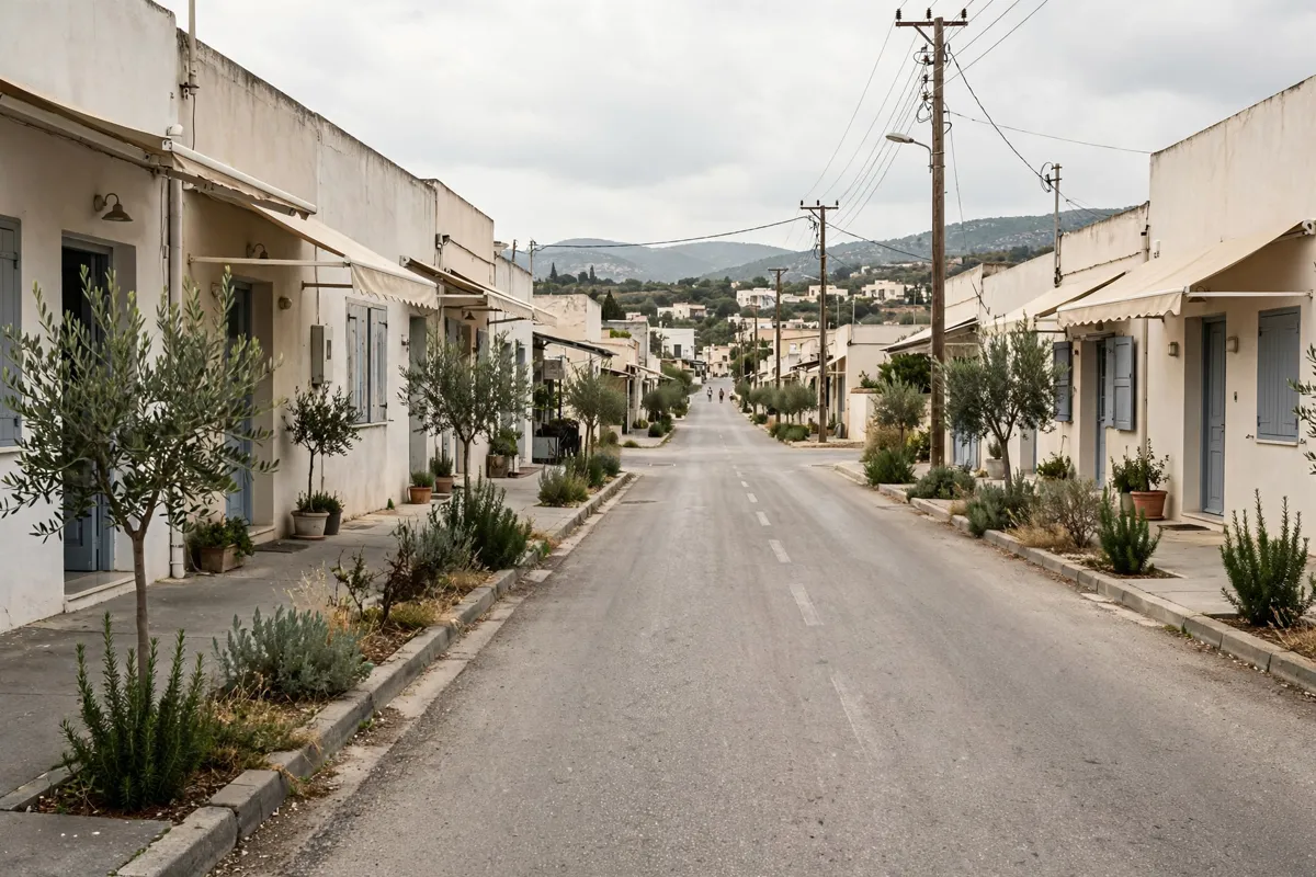
Local services and useful stops
Kato Pyrgos has community facilities and services, including a rural health centre, police station, forest station, rural veterinary centre and Citizen Service Centre. The community site also includes a community park and a hospital.
Local service addresses and contact numbers include:
- Kato Pyrgos Police Station: 105 Nikolaou Papageorgiou Avenue; 26812940
- Kato Pyrgos Rural Health Centre: 63 Nikolaou Papageorgiou Avenue; 26522353
- Kato Pyrgos Forest Station: 163B Nikolaou Papageorgiou Avenue; 26522189
- Rural Veterinary Centre: 50 Georgiou Nikolaou Street; 26522357
- Citizen Service Centre: 26522614 or 26522106
- Hellenic Bank contact: 26505064
Community facility information and contact details can change, so check the official site before you go.
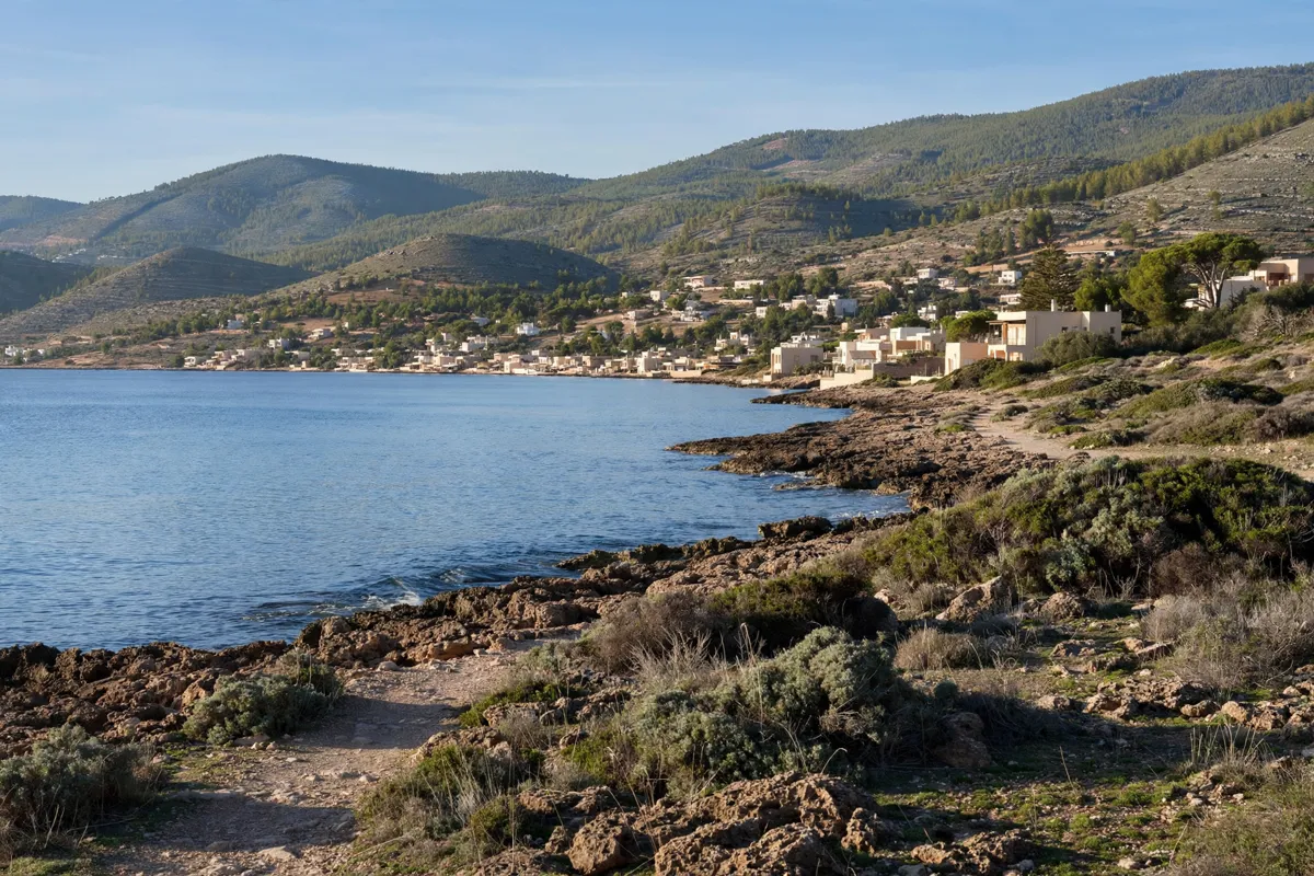
Planning a relaxed stay
The village’s fishing shelter can accommodate small boats from across Europe, according to the community site. It offers another point of interest within Kato Pyrgos’s coastal setting, alongside the village square and its landmark oak.
Music and dancing events take place in July and August at the village square and fishing reserve. Event dates and times vary, so check local announcements when planning around them.
For a simple day in the village, start at the square, then fit in the chapel and a look at the coastal surroundings. Keep service stops flexible, since the community details do not give opening hours for its facilities.
FAQs
Where is Kato Pyrgos?
Kato Pyrgos is in the Tylliria area of Nicosia District, Cyprus, between the coast and the northern foothills of Troodos.
How do you drive to Kato Pyrgos from Paphos?
The Cyprus tourism authority’s route follows the A1 and A6 motorways to Paphos, then the B7 and E704 to Kato Pyrgos.
What is the village square known for?
The square is described as the heart of the community. Its oak tree was planted in 1898 and is 20 metres high.
When do music and dancing events take place?
They take place in July and August at the village square and fishing reserve. Check local announcements for event details.